St. Neots, Huntingdonshire
| St Neots | |
|---|---|
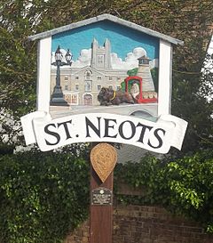
 St Neots sign |
|
|
St Neots shown within Cambridgeshire
|
|
| Population | 31,165 (2011 Census) |
| OS grid reference | TL185605 |
| • London | 49 miles (79 km) S |
| Civil parish |
|
| District | |
| Shire county | |
| Region | |
| Country | England |
| Sovereign state | United Kingdom |
| Post town | ST. NEOTS |
| Postcode district | PE19 |
| Dialling code | 01480 |
| Police | Cambridgeshire |
| Fire | Cambridgeshire |
| Ambulance | East of England |
| EU Parliament | East of England |
| UK Parliament | |

The route and location of the St Neots (Southern) Foot and Cycle Bridge.
|
|
| Location | Cambridgeshire |
|---|---|
| Geometry | KML |
St Neots (/sənt
Pilgrimage to St Neots brought prosperity for the town, and it was granted a market charter in 1130. In the 18th and 19th centuries, the town enjoyed further prosperity through corn milling, brewing, stagecoach traffic, and railways. After the Second World War, the town and its industry grew rapidly as London councils paid for new housing to be built in the town to rehouse families from London. The first London overspill housing was completed in the early 1960s.
...
Wikipedia

