Somerset, Wisconsin
| Somerset, Wisconsin | |
|---|---|
| Village | |
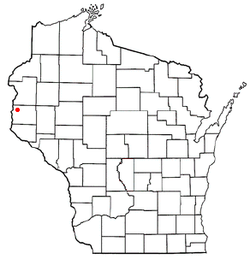
 Location of Somerset, Wisconsin |
|
| Coordinates: 45°8′30″N 92°42′9″W / 45.14167°N 92.70250°WCoordinates: 45°8′30″N 92°42′9″W / 45.14167°N 92.70250°W | |
| Country | United States |
| State | Wisconsin |
| County | St. Croix |
| Area | |
| • Total | 2.75 sq mi (7.12 km2) |
| • Land | 2.75 sq mi (7.12 km2) |
| • Water | 0 sq mi (0 km2) |
| Elevation | 961 ft (293 m) |
| Population (2010) | |
| • Total | 2,635 |
| • Estimate (2012) | 2,656 |
| • Density | 958.2/sq mi (370.0/km2) |
| Time zone | Central (CST) (UTC-6) |
| • Summer (DST) | CDT (UTC-5) |
| Area code(s) | 715 & 534 |
| FIPS code | 55-74700 |
| GNIS feature ID | 1584175 |
Somerset is a village in St. Croix County, Wisconsin, along the Apple River. The population was 2,635 at the 2010 census. The village is located within the Town of Somerset.
Somerset was named by General Samuel Harriman after his father's home of Somerset, England. Somerset has a lengthy and colorful history. Before the turn of the century Somerset was bordered on the south by cranberry bogs. The terrain naturally lent itself to the production of cranberries as a result of the hilliness of the area, which is dotted with ponds, sloughs, swamps and bogs. These wet areas became of greater interest to the local population during Prohibition. These same low spots where water collected became ideal for collecting water for the production of moonshine (homemade alcoholic beverages). Indeed, Somerset already had a history of being a rough logging town, and it was only a natural progression to become the supplier of bootlegged alcohol to the twin cities of Saint Paul and Minneapolis. After Prohibition ended, the citizens of Somerset returned to the more humble activities of logging and farming.
Somerset is located at 45°7′30″N 92°40′30″W / 45.12500°N 92.67500°W (45.125189, -92.6752).
According to the United States Census Bureau, the village has a total area of 2.75 square miles (7.12 km2), all of it land. The Apple River runs through Somerset.
As of the census of 2010, there were 2,635 people, 990 households, and 654 families residing in the village. The population density was 958.2 inhabitants per square mile (370.0/km2). There were 1,102 housing units at an average density of 400.7 per square mile (154.7/km2). The racial makeup of the village was 93.1% White, 1.0% African American, 0.6% Native American, 0.8% Asian, 2.0% from other races, and 2.5% from two or more races. Hispanic or Latino of any race were 5.1% of the population.
...
Wikipedia
