Skottinden
| Skottinden | |
|---|---|

Skottinden on Vestvågøya
|
|
| Highest point | |
| Elevation | 671 m (2,201 ft) |
| Prominence | 663 m (2,175 ft) |
| Coordinates | 68°04′54″N 13°29′32″E / 68.08167°N 13.49222°ECoordinates: 68°04′54″N 13°29′32″E / 68.08167°N 13.49222°E |
| Geography | |
|
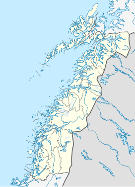
Location in Nordland
|
|
| Location | Vestvågøy, Nordland, Norway |
| Topo map | 1031-II Leknes |
Skottinden is a mountain in the Lofoten archipelago, in Nordland county, Norway. It is located on the southwestern part of the island of Vestvågøya. The 671-metre (2,201 ft) tall mountain is situated about 2 kilometres (1.2 mi) northwest of the village of Ballstad and about 1 kilometre (0.62 mi) east of the Nappstraumen strait separating the islands of Vestvågøya and Flakstadøya.
The southern ridge of Skottinden has several lesser summits: Sengestokken, Blåtinden, and Munkan.
...
Wikipedia

