
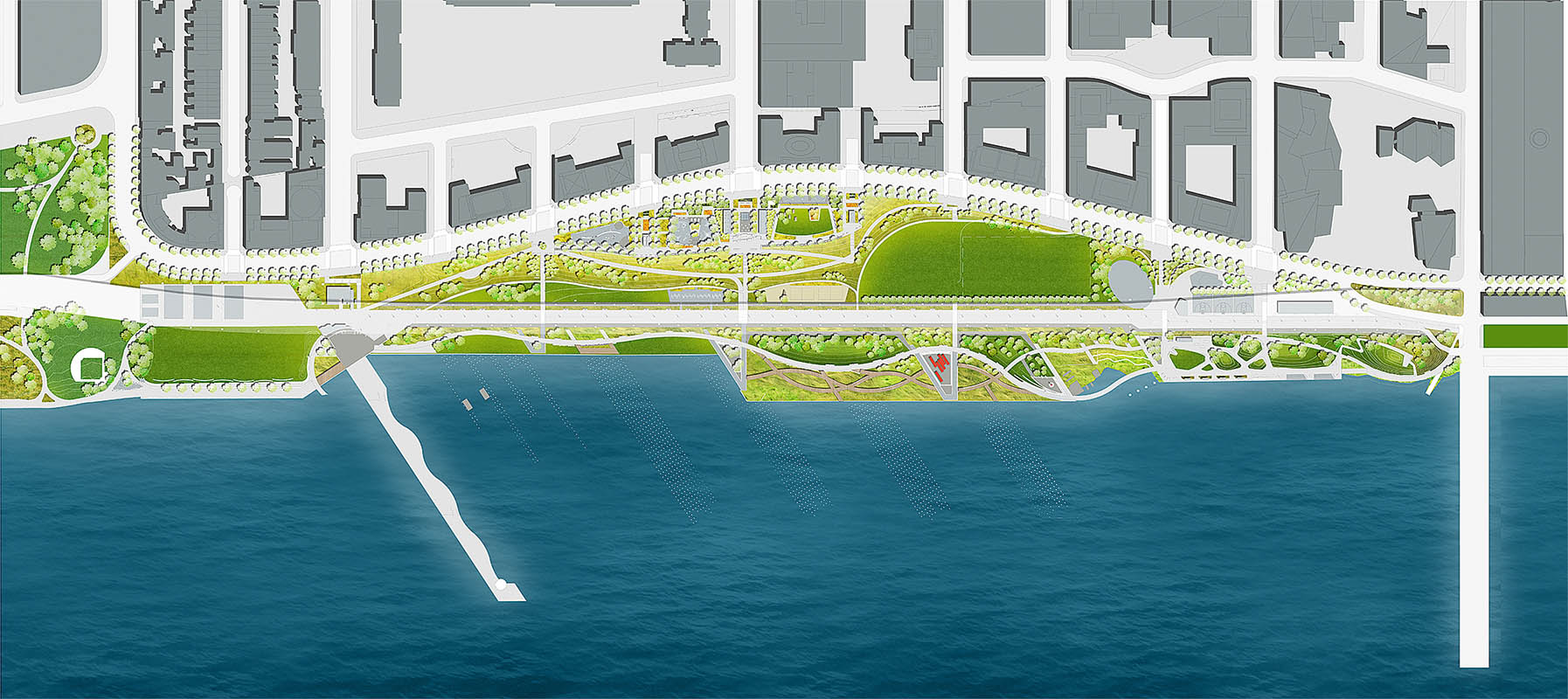
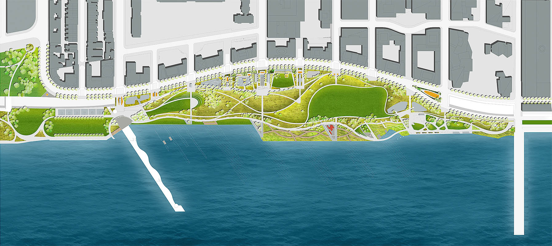
Riverside Park (Manhattan)
| Riverside Park | |
|---|---|

Riverside Park has many walking and bicycle paths
|
|
| Type | Urban park |
| Location | Manhattan, New York City |
| Coordinates | 40°48.24′N 73°58.20′W / 40.80400°N 73.97000°W |
| Area | 266.791 acres (108 ha) |
| Operated by | New York City Department of Parks and Recreation |
| Status | Open all year |
Riverside Park is a scenic waterfront public park on the Upper West Side of the borough of Manhattan in New York City, operated and maintained by the New York City Department of Parks and Recreation. The park consists of a narrow 4-mile (6.4 km) strip of land between the Hudson River and the gently curving rise-and-fall of Riverside Drive. When the park was first laid out, access to the river was blocked by the right-of-way of the New York Central Railroad West Side Line; later the railroad track was covered over with an esplanade lined with honey-locusts. Riverside Park also contains part of the Manhattan Waterfront Greenway, which encircles Manhattan's waterfronts with car-free bike routes.
The 191 acres (0.77 km2) of land which form the original area of the Park (from 72nd to 125th Streets) were undeveloped prior to construction of the Hudson River Railroad, built in 1846 to connect New York City to Albany. The first proposal to convert the riverside precipice into a park was contained in a pamphlet written by William R. Martin, a parks commissioner, in 1865. In 1866, a bill introduced into the Legislature by commissioner Andrew Green was approved, the first segment of park was acquired through condemnation in 1872, and construction began.
The conceptual plan for a new park and road was drawn by Frederick Law Olmsted, designer of the nearby Central Park. Subsequently, a series of designers set out to devise the new landscape, incorporating Olmsted’s idea of a park with a tree-lined drive curving around the valleys and rock outcroppings and overlooking the river. From 1875 to 1910, architects and horticulturalists such as Calvert Vaux and Samuel Parsons laid out the stretch of park/road between 72nd and 125th Streets according to the English gardening ideal, creating the appearance that the park was an extension of the Hudson River Valley. With the beginning of the City Beautiful movement in the early twentieth century, the border was extended north to 155th Street. F. Stuart Williamson designed the extension with its decorative viaduct, castle-like retaining walls and grand entry ensembles.
...
Wikipedia