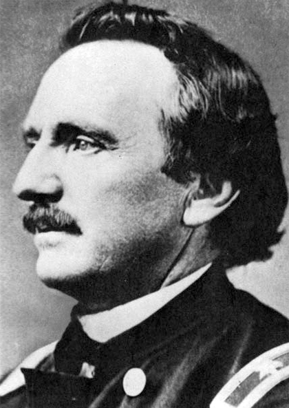
Raynolds Expedition
| Raynolds Expedition | |||||
|---|---|---|---|---|---|
| Part of the Exploration of North America | |||||
 William F. Raynolds |
|||||
|
|||||
| Belligerents | |||||
|
|
|||||
| Commanders and leaders | |||||
|
|
|||||
| Strength | |||||
|
33 Soldiers.
|
|||||
33 Soldiers.
The Raynolds Expedition was a United States Army exploring and mapping expedition intended to map the unexplored territory between Fort Pierre, Dakota Territory and the headwaters of the Yellowstone River. The expedition was led by topographical engineer Captain William F. Raynolds.
In early 1859, Raynolds was charged with leading an expedition into the Yellowstone region of Montana and Wyoming to determine, "as far as practicable, everything relating to ... the Indians of the country, its agricultural and mineralogical resources ... the navigability of its streams, its topographical features, and the facilities or obstacles which the latter present to the construction of rail or common roads ...". The expedition was carried out by a handful of technicians, including geologist/naturalist F.V. Hayden, who led several later expeditions to the Yellowstone region, photographer and topographer James D. Hutton and artist and mapmaker Anton Schönborn. Raynold's second-in-command was Lt. Henry E. Maynadier. The expedition was supported by a small infantry detachment of 30 and was funded with $60,000 by the U.S. Government. Experienced mountain man Jim Bridger was hired to guide the expedition.
The expedition commenced at St. Louis, Missouri in late May 1859 as the party was transported by two steamboats up the Missouri River to New Fort Pierre, South Dakota. By late June the expedition left Fort Pierre and headed overland, encountering the Crow Indians, exploring the Tongue River and then heading for the Yellowstone River in southern Montana. Raynolds divided his expedition, sending a smaller detachment under Maynadier to explore the Tongue River, a major tributary of the Yellowstone River. James D. Hutton and Zephyr Recontre, the expedition's Sioux interpreter, took a side trip to locate an isolated rock formation that had been seen from great distance by a previous expedition in 1857. Hutton was the first person of European descent to reach the rock formation in northeastern Wyoming, later known as Devils Tower; Raynolds never elaborated on this event, mentioning it only in passing. By September 2, 1859, Raynolds's detachment had followed the Yellowstone River to the confluence with the Bighorn River in south-central Montana. The two parties under Raynolds and Maynadier reunited on October 12, 1859 and wintered at Deer Creek Station, on the Platte River in central Wyoming.
...
Wikipedia
