Pushpagiri, Karnataka
| Pushpagiri | |
|---|---|

A moment to rejoice far upon the mountains of Pushpagiri
|
|
| Highest point | |
| Elevation | 1,748 m (5,735 ft) |
| Coordinates | 12°40′00″N 75°41′00″E / 12.66667°N 75.68333°ECoordinates: 12°40′00″N 75°41′00″E / 12.66667°N 75.68333°E |
| Geography | |
| Location | Karnataka, India |
| Parent range | Western Ghats |
| Climbing | |
| Easiest route | Hike |
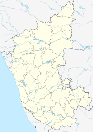
Pushpagiri or Kumara Parvatha, at 1,712 metres (5,617 ft), is the highest peak in Pushpagiri Wildlife Sanctuary in the Western Ghats of Karnataka. It is located in the Somwarpet Taluk, 20 kilometres (12 mi) from Somwarpet in the northern part of Kodagu district on the border between Dakshina Kannada and Kodagu district and hassan districts. It is 6th highest peak of Karnataka.
The Pushpagiri or Subramanya Hills (also referred as Kumaraparvatha) is the second-highest peak of Kodagu, and sixth highest peak in Karnataka
About 36 kilometres (22 mi) from Somwarpet and 1.5 kilometres (0.93 mi) from Kumaralli, it is located amid the jungle. Trekking can be done from the base, Bhagati, which is a 10 km, three-hour walk. Otherwise, trekkers can cross Kukke Subramanya, located in Dakshina Kannada district of Pushpagiri Range. The trekking zone can be approached from Pushpagiri or from Kumaraparvata peaks.
The Eastern entrance can be reached from Beedehalli via Heggademane temple and the Western entrance from Kukke Subramanya via Giri gadde. However, the entrance through Beedehalli is less strenuous.
The entrance from Kukke Subramanya is located the sea level.
The climate is generally cool and wet. The climate is that of a highland, with no extreme variations. It receives heavy rainfall between June to September. From October to December the area is covered in mist almost all the time.
...
Wikipedia


