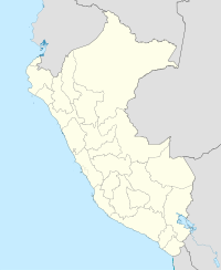
Pucajirca
| Pucajirca | |
|---|---|

Pucajirca Oeste (on the left), Rinrijirca (middle-left) and Curuicashajana (on the right) behind the Arhuay Glacier and Arhuaycocha
|
|
| Highest point | |
| Elevation | 6,046 m (19,836 ft) |
| Coordinates | 8°50′59″S 77°35′43″W / 8.84972°S 77.59528°WCoordinates: 8°50′59″S 77°35′43″W / 8.84972°S 77.59528°W |
| Geography | |
| Location | Peru, Ancash Region |
| Parent range | Andes, Cordillera Blanca |
| Climbing | |
| First ascent | 1961, S. Nakagawa, H. Nakajima, T. Nakamura. |
Pucajirca or Pucahirca (possibly from Quechua puka red, Ancash Quechua hirka mountain, "red mountain") is a mountain in the Cordillera Blanca in the Andes of Peru, about 6,046 m (19,836 ft) high. It is located in the Ancash Region, Pomabamba Province, Pomabamba District (Pucajirca Norte) as well as in the Huaylas Province, Yuracmarca District (Pucajirca Central) north of Rinrijirca.
The mountain has three separate and independent summits: Pucajirca Norte (6,046 m), Central (6,014 m) and Oeste (6,039 m).
...
Wikipedia

