Powell, Ohio
| Powell, Ohio | |
|---|---|
| City | |

Suburban neighborhood off Rutherford Road
|
|
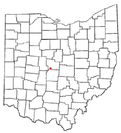
 Location of Powell in Ohio |
|
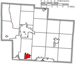
 Location of Powell in Delaware County |
|
| Coordinates: 40°9′30″N 83°4′27″W / 40.15833°N 83.07417°WCoordinates: 40°9′30″N 83°4′27″W / 40.15833°N 83.07417°W | |
| Country | United States |
| State | Ohio |
| County | Delaware |
| Founded | 1801 |
| Incorporated | 1947 |
| Government | |
| • Mayor | Brian Lorenz |
| Area | |
| • Total | 4.93 sq mi (12.77 km2) |
| • Land | 4.93 sq mi (12.77 km2) |
| • Water | 0 sq mi (0 km2) |
| Elevation | 909 ft (277 m) |
| Population (2010) | |
| • Total | 11,500 |
| • Estimate (2012) | 11,960 |
| • Density | 2,332.7/sq mi (900.7/km2) |
| Time zone | Eastern (EST) (UTC-5) |
| • Summer (DST) | EDT (UTC-4) |
| ZIP code | 43065 |
| Area code(s) | 614, 740 |
| FIPS code | 39-64486 |
| GNIS feature ID | 1061569 |
| Website | www.cityofpowell.us |
Powell is an affluent city in Delaware County, Ohio, United States. The population was 11,500 at the 2010 census.
The community was first settled around 1801, two years before Ohio became a state. It was named "Middlebury" at the time, because the first settlers came from the Middlebury, Connecticut area. In 1857, Judge Thomas Powell established the first post office in the community, and the residents decided to adopt his name. The town of Powell had its start in the building of the railroad through that territory. Powell was finally incorporated as a municipality in 1947. The population remained small until the late 1980s, when residential development expanding from the northern Columbus metropolitan area reached Powell. In twenty years, the population rose from less than 400 to over 6,000.
In July 2005, CNN Money and Money magazine ranked Powell 18 on its list of the 100 Best Places to Live in the United States.
Powell is located at 40°09′30″N 83°04′27″W / 40.158217°N 83.074252°W. The city sits between the Scioto and Olentangy Rivers, about fourteen miles north of the state capital of Columbus, centered on the intersection of State Route 750 and C.R. 9. It sits within Liberty Township, the site of the first settlement in Delaware County.
According to the United States Census Bureau, the city has a total area of 4.93 square miles (12.77 km2), all land.
...
Wikipedia
