Parklea, New South Wales
|
Parklea Sydney, New South Wales |
|||||||||||||
|---|---|---|---|---|---|---|---|---|---|---|---|---|---|

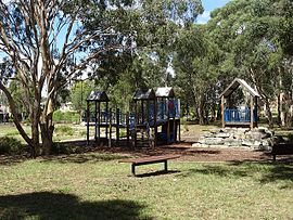
Playground in Davison Park
|
|||||||||||||
| Coordinates | 33°43′45″S 150°55′08″E / 33.7291°S 150.9190°ECoordinates: 33°43′45″S 150°55′08″E / 33.7291°S 150.9190°E | ||||||||||||
| Population | 3,455 (2011 census) | ||||||||||||
| Postcode(s) | 2768 | ||||||||||||
| LGA(s) | Blacktown | ||||||||||||
| State electorate(s) | Riverstone | ||||||||||||
| Federal Division(s) | Greenway | ||||||||||||
|
|||||||||||||
Parklea is a suburb in Sydney, in the state of New South Wales, Australia. It is approximately 40 kilometres north-west of the Sydney central business district, in the local government area of the City of Blacktown and is a part of Greater Western Sydney. The suburb was named by the subdividers in the early 1900s and is well known for the major Sydney landmark of Parklea Markets.
Landmarks include:
Hillsbus provides services to Parramatta, Sydney CBD and Rouse Hill, whilst Busways provides services to Macquarie Park, Castle Hill and Blacktown. The suburb is served by Sorrento and Stanhope stations on the Blacktown-Parklea T-way.
...
Wikipedia

