Ommen
| Ommen | |||
|---|---|---|---|
| Municipality | |||

Ommen city centre with Vecht in the foreground
|
|||
|
|||
 Location in Overijssel |
|||
| Coordinates: 52°31′N 6°25′E / 52.517°N 6.417°ECoordinates: 52°31′N 6°25′E / 52.517°N 6.417°E | |||
| Country | Netherlands | ||
| Province | Overijssel | ||
| Government | |||
| • Body | Municipal council | ||
| • Mayor | vacant | ||
| Area | |||
| • Total | 182.01 km2 (70.27 sq mi) | ||
| • Land | 180.00 km2 (69.50 sq mi) | ||
| • Water | 2.01 km2 (0.78 sq mi) | ||
| Elevation | 6 m (20 ft) | ||
| Population (May 2014) | |||
| • Total | 17,333 | ||
| • Density | 96/km2 (250/sq mi) | ||
| Demonym(s) | Ommenaar, Ommer | ||
| Time zone | CET (UTC+1) | ||
| • Summer (DST) | CEST (UTC+2) | ||
| Postcode | 7685, 7730–7739, 8145–8149 | ||
| Area code | 0523, 0529, 0572 | ||
| Website | www |
||
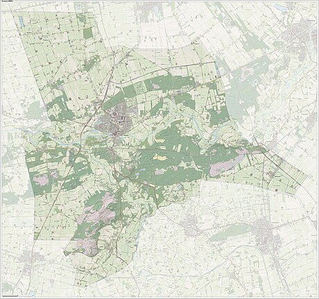
Ommen (Dutch pronunciation: [ˈɔmən]) is a municipality and a Hanseatic city in the Vecht valley of the Salland region, which is at the heart of the province of Overijssel in the eastern Netherlands. Historical records first name Ommen in the early 12th century and it was officially founded as a city in 1248. The municipality had a population of 17,333 in 2014 and covers an area of 182.01 km2 (70.27 sq mi).
Besides the city of Ommen (population: 8,710) and the town of Lemele (population: 570), the municipality consists of the following hamlets and villages: Archem, Arriën, Arriërveld, Beerze, Beerzerveld, Besthmen, Eerde, Giethmen, Junne, Ommerschans, Stegeren, Stegerveld, Varsen, Vilsteren, Vinkenbuurt, Witharen and Zeesse.
...
Wikipedia


