Norman Wells
|
Norman Wells Tłegǫ́hłı̨ The Wells |
|
|---|---|
| Town | |

Norman Wells from the air
|
|
| Motto: Where Adventures Begin | |
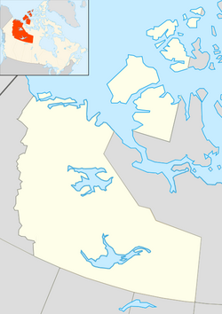
| Coordinates: 65°16′52″N 126°49′53″W / 65.28111°N 126.83139°WCoordinates: 65°16′52″N 126°49′53″W / 65.28111°N 126.83139°W | |
| Country | Canada |
| Territory | Northwest Territories |
| Region | Sahtu Region |
| Constituency | Sahtu |
| Census division | Region 2 |
| Incorporated (town) | 12 April 1992 |
| Government | |
| • Mayor | Nathan Watson |
| • Town Manager | Catherine Mallon |
| • MLA | Daniel McNeely |
| Area | |
| • Land | 82.48 km2 (31.85 sq mi) |
| Elevation | 73 m (240 ft) |
| Population (2011) | |
| • Total | 727 |
| • Density | 8.8/km2 (23/sq mi) |
| Time zone | Mountain (MST) (UTC-7) |
| • Summer (DST) | MDT (UTC-6) |
| Canadian Postal code | X0E 0V0 |
| Area code(s) | 867 |
| Telephone exchange | 587 |
| - Living cost | 152.5 |
| - Food price index | 179.6 |
| Website | www.normanwells.com |
| Sources: Department of Municipal and Community Affairs, Prince of Wales Northern Heritage Centre, Canada Flight Supplement ^A 2009 figure based on Edmonton = 100 ^B 2010 figure based on Yellowknife = 100 |
|
Norman Wells (Slavey language: Tłegǫ́hłı̨ "where there is oil") is the regional centre for the Sahtu Region of the Northwest Territories, Canada. The town is situated on the north side of the Mackenzie River and provides a view down the valley of the Franklin and Richardson Mountains.
According to the 2011 Census the town has a population of 727, which is a decrease of 4.5% from the 2006 Census figure of 761. 300 people identified as aboriginal, and of these, 165 were First Nations, 110 were Métis and 25 were Inuit. In 2012 the Government of the Northwest Territories reported that the population was 838 with an average yearly growth rate of 1.2 from 2001.
The main languages in the town are North Slavey and English.
Of the population, 79.8% is 15 and older, with the median age being 33.2, slightly more than the NWT averages of 78.3% and 31.2.
Oil was first seen by Alexander MacKenzie during his exploration of the river in 1789 but it was not until 1911 that an oil bearing formation was discovered. Imperial Oil, a major employer in the town, was established in the area in 1937 with a refinery built in 1937.
During the Second World War, Norman Wells was deemed important as a source of oil for military operations in Alaska and the Yukon. The Canol Road and Canol pipeline project was undertaken to enable the piping of oil to Whitehorse, with the flow starting in 1944. Although Norman Wells crude was light and easily flowed at temperatures as low as −62 °C (−80 °F), the line did not work well and was shut down shortly after the war ended. The road, which began at Canol Camp across the river, was abandoned. The Canol Heritage Trail is what remains of the road in the NWT.
...
Wikipedia

