Nightcap Range
| Nightcap | |
|---|---|
|
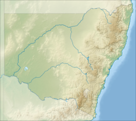
Location of the Nightcap Range in New South Wales
|
|
| Highest point | |
| Peak | Mount Burrell |
| Elevation | 933 m (3,061 ft) AHD |
| Coordinates | 28°31′S 153°13′E / 28.517°S 153.217°E |
| Dimensions | |
| Length | 25 km (16 mi) SE |
| Geography | |
| Country | Australia |
| State | New South Wales |
| Range coordinates | 28°33′S 153°20′E / 28.550°S 153.333°ECoordinates: 28°33′S 153°20′E / 28.550°S 153.333°E |
| Parent range | Great Dividing Range |
The Nightcap Ranges is a mountain range located in the Northern Rivers region of New South Wales, Australia. The range is a spur off the Great Dividing Range and extends generally southeast from Mount Burrell for about 25 kilometres (16 mi) to Peates Mountain.
The peak in the range is Mount Burrell at 933 metres (3,061 ft) above sea level. Other major peaks are Mount Neville at 919 metres (3,015 ft), Mount Nardi at 812 metres (2,664 ft), Mount Matheson at 804 metres (2,638 ft), and Peates Mountain at 604 metres (1,982 ft).
The range generally lies within the Nightcap National Park.
...
Wikipedia

