New York State Route 411
| New York State Route 411 | ||||
|---|---|---|---|---|

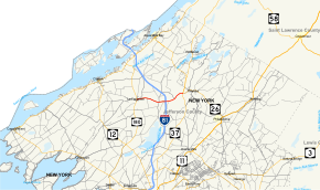
Map of Jefferson County in northern New York with NY 411 highlighted in red
|
||||
| Route information | ||||
| Maintained by NYSDOT | ||||
| Length: | 7.55 mi (12.15 km) | |||
| Existed: | 1930 – present | |||
| Major junctions | ||||
| West end: |
|
|||
| East end: |
|
|||
| Location | ||||
| Counties: | Jefferson | |||
| Highway system | ||||
|
||||
New York State Route 411 (NY 411) is an east–west state highway in Jefferson County, New York, in the United States. The western terminus of the route is at an intersection with NY 180 in the community of La Fargeville in the town of Orleans. Its eastern terminus is at a junction with NY 37 in the adjacent town of Theresa just west of the village of Theresa.
NY 411 begins at an intersection with NY 180 (Main and Clayton Streets) in the hamlet of La Fargeville (within the town of Orleans). NY 411 proceeds north on Main Street as a two-lane residential street through La Fargeville. The route quickly bends westward along Plank Road, passing south of Can-Am Speedway as a two-lane rural roadway through Orleans. NY 411 crosses over the Chaumont River as the route bends southeast into the hamlet of Orleans Corners. In Orleans Corners, NY 411 passes several homes and through an intersection with County Route 15 (CR 15; Jack Street Road). After leaving Orleans Four Corners, NY 411 proceeds east along Plank Road and into a diamond interchange with I-81 (exit 49).
...
Wikipedia

