Muttler
| Muttler | |
|---|---|
 |
|
| Highest point | |
| Elevation | 3,294 m (10,807 ft) |
| Prominence | 703 m (2,306 ft) |
| Isolation | 11.45 km (7.11 mi) |
| Parent peak | Piz Linard |
| Coordinates | 46°54′02.3″N 10°22′43.4″E / 46.900639°N 10.378722°ECoordinates: 46°54′02.3″N 10°22′43.4″E / 46.900639°N 10.378722°E |
| Geography | |
| Location | Graubünden, Switzerland |
| Parent range | Samnaun Alps |
| Climbing | |
| First ascent | 29 July 1859 by Johann Jakob Weilenmann |
| Easiest route | Trail leading to the summit |
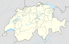
The Muttler (3,294 m) is the highest mountain in the Samnaun Alps. It is located south of Samnaun in the Swiss canton of Graubünden. An antenna is located west of the summit.
...
Wikipedia

