Mount Redington
| Mount Redington | |
|---|---|

|
|
| Highest point | |
| Elevation | 4000+ ft (1219+ m) NGVD 29 |
| Prominence | 440 ft (130 m) |
| Listing | New England 4000 footers |
| Coordinates | 45°1.50′N 70°23.32′W / 45.02500°N 70.38867°WCoordinates: 45°1.50′N 70°23.32′W / 45.02500°N 70.38867°W |
| Geography | |
|
|
|
| Topo map | USGS Black Nubble |
| Climbing | |
| Easiest route | herd path |
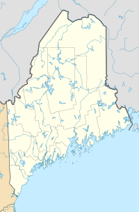
Mount Redington is a mountain located in Franklin County, Maine. Redington is flanked to the northeast by South Crocker Mountain and to the west by Black Nubble. Redington stands just northeast of the U.S. Navy Survival Escape and Evasion Training Facility (USSEAETF).
The southeast side of Redington drains into the South Branch of the Carrabassett River, then into the Kennebec River, and into the Gulf of Maine. The northwest side of Redington drains into Nash Stream, then into the South Branch of the Dead River, Flagstaff Lake, the Dead River and the Kennebec.
The Appalachian Trail (AT), a 2,170 mi (3,490 km) National Scenic Trail from Georgia to Maine, is routed around Mt. Redington, to instead pass near the summit of Sugarloaf Mountain (4,250 feet or 1,300 metres) — the second highest peak in the state of Maine. The AT runs from Saddleback Junior to the southwest, over Spaulding Mountain and Sugarloaf to the east, and passes about a mile northeast of Redington, at the summit of South Crocker.
Mount Redington and Owl's Head in New Hampshire are the only New England four-thousand footers without a maintained trail to the summit.
...
Wikipedia

