Mount Karioi
| Mount Karioi | |
|---|---|

Mt. Karioi, Raglan and Whaingaroa Harbour (February 2012)
|
|
| Highest point | |
| Elevation | 756 m (2,480 ft) |
| Coordinates | 37°52′S 174°49′E / 37.867°S 174.817°ECoordinates: 37°52′S 174°49′E / 37.867°S 174.817°E |
| Naming | |
| Translation | to loiter or idle (Māori) |
| Geography | |
|
|
|
| Topo map | BD32 Raglan |
| Geology | |
| Age of rock | Pliocene |
| Mountain type | Volcano (extinct) |
| Climbing | |
| Easiest route | from Ruapuke Rd |
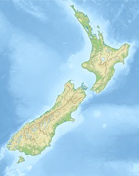
Karioi or Mount Karioi is a 2.4 million year old extinct volcano 8 km SW of Raglan in the Waikato region of New Zealand's North Island. It was the earliest of the line of 6 calcalkalic volcanoes, the largest of which is Mount Pirongia (the others are at Kakepuku, Te Kawa, Tokanui, Waikeria and probably Puketotara). Karioi forms a background to many parts of Raglan.
Karioi was also a Highway Board area around the maunga from 1870 to 1889, when it was absorbed (with Whaingaroa Board area and formed into Karioi Riding) into Raglan County Council. In 1876 it had a population of 112 in 27 houses and in 1889 119 ratepayers, 80 of them absentees.
Karioi is also a location on the Central Plateau (see articles on Mangamahu, North Island Main Trunk, Raetihi, Waiouru).
Many iwi whakapapa back to Karioi, which features in several Māori legends. One says that, a long time ago, Karewa was the husband of Karioi, but he flirted with her sister, Pirongia, and was cast into the sea as the offshore rock named by Captain James Cook as Gannet Island. The profile of Karioi from Raglan is likened to a 'Sleeping Lady' (Wahine Moe).
Raglan County Hills and Sea 1876-1976 (page 17) describes the start of European history -
“The sails of Abel Tasman's two ships were seen not long before noon on 28 December 1642. . .Tasman's own account of the incident. . . "on the 28th in the morning, at daybreak, set sail again, shaped our course east in order to ascertain whether the aforementioned land which we had seen in 40 degrees, extends still further northward or whether it falls away to eastward. At noon saw a high mountain east by north of us." This was Karioi. "First took it to be an island," . . . but afterwards saw that it was an extended coast. We were about 4 miles from shore"
...
Wikipedia

