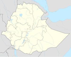
Mota, Ethiopia
| Mota Saint georgis | |
|---|---|
| Location in Ethiopia | |
| Coordinates: 11°5′N 37°52′E / 11.083°N 37.867°ECoordinates: 11°5′N 37°52′E / 11.083°N 37.867°E | |
| Country | Ethiopia |
| Region | Amhara Region |
| Zone | Misraq Gojjam Zone |
| Elevation | 2,487 m (8,159 ft) |
| Population (2005 est.) | |
| • Total | 91,483 |
| Time zone | EAT (UTC+3) |
Motta is a town in north west Ethiopia. Located in the Misraq Gojjam Zone of the Amhara Region, and on the secondary road that links Dejen with Bahir Dar overlooking the Abay River, this town has a latitude and longitude of 11°5′N 37°52′E / 11.083°N 37.867°E with an elevation of 2,487 meters above sea level.
One local landmark is Sebara Deldiy or "the Broken Bridge", a stone footbridge built by foreign stoneworkers during the reign of Emperor Fasilides. C.T. Beke was told that the central arch of this bridge was removed at the orders of Ras Fasil as a defensive measure. Despite the damage, Beke reports that it was still used by native merchants, who "by means of ropes stretched across the open space, they manage to pass with their merchandize from the one side to the other, without entering, the stream." Another landmark is the church of Weyzazirt Kidhane Mihret, which was constructed by Woizero Seble Wengel, the daughter of Emperor Fasilides. She and her husband are buried there.
Due to the presence of Sebara Deldel, one of only two bridges across the Abay River until the late 19th century, Mota became a major commercial center, which was described by at least one group of European travellers as "the most considerable market" in Gojjam; it attracted merchants from as far away as Begemder, Gondar and Tigray. To reinstate the commerce prior to the bridge being broken, Bridges to Prosperity is building a 100-meter suspended pedestrian bridge to provide safe access Those crossing the river are able to obtain cotton cloth, cattle, and horses. Likewise, Mota was the seat of an important royal fiefdom during the Gondarine period, and a notable place for asylum in the early 19th century.
...
Wikipedia

