Minkébé National Park
| Minkébé National Park | |
|---|---|
|
IUCN category II (national park)
|
|
| Location | Gabon |
| Coordinates | 1°40′47.18″N 12°45′34.21″E / 1.6797722°N 12.7595028°ECoordinates: 1°40′47.18″N 12°45′34.21″E / 1.6797722°N 12.7595028°E |
| Area | 7,570 km2 |
| Established | 2000 (provisional) August 2002 (National Park) |
| Governing body | National Agency for National Parks |
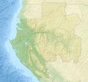
Minkébé National Park is a national park in the extreme northeast of Gabon. It covers an area of 7,570 km2. The WWF recognized it as an area needing protection as early as 1989 and has been actively working towards protecting the forest since 1997. The park was established as a provisional reserve in 2000 but the Minkébé National Park itself was officially recognized and established by the Gabonese government in August 2002. It is recognized as a critical site for conservation by the IUCN and has been proposed as a World Heritage Site.
The Fang people once inhabited the Minkébé area but on becoming a protected area the park now has no permanent human population. The name Minkébé derives from the Fang word minkegbe, which means 'valleys' or 'ditches'. Historically, the park was under former French army control in the 1920s.
In 1997, the WWF initiated a management program and established two main centres of forest command, one at Oyem, the other at Makokou. A central camp was also installed at the mouth of the river Nouna to manage the protected area.
Since 1997, the park has received funds from DGIS (Netherlands Development Cooperation) and CARPE (USAID), and the WWF has worked with other groups to build up ways in which to manage and protect the biodiversity in the park. The park has received donors from the European Union, CARPE, UNESCO and the French Global Environment Facility (FFEM).
The WWF has attempted to create a complex of protected areas in the interzone between Gabon, Republic of the Congo and Cameroon and the Minkebe was intended to become a part of a conservation process on a much broader geographical scale. This interzone is considered one of the most biologically rich forests in Africa and is ecologically a part of the Northwest Congolian Lowland Forest ecoregion, one of WWF's main global ecoregions. This work at a regional level in the interzone between Cameroon, Republic of the Congo and Gabon is known as the Dja- Odzala-Minkébé Tri-National (TRIDOM), where each of the countries have committed themselves to cooperating, implementing and managing the interzone in order to promote conservation and sustainable development. The TRIDOM zone covers 140,000 km2 which equates to approximately 7.5% of the Congo Basin's forests.
...
Wikipedia

