McFaddin National Wildlife Refuge
| McFaddin National Wildlife Refuge | |
|---|---|

McFaddin National Wildlife Refuge
|
|
| Location |
Jefferson County, Texas, |
| Coordinates | 29°40′00″N 94°09′00″W / 29.66667°N 94.15000°WCoordinates: 29°40′00″N 94°09′00″W / 29.66667°N 94.15000°W |
| Area | 58,861 acres (238.20 km2) |
| Established | 1980 |
| Operator | U.S. Fish and Wildlife Service |
| Website | McFaddin National Wildlife Refuge |
| Texas Point National Wildlife Refuge | |
|---|---|

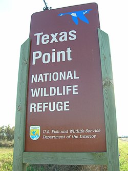
Texas Point National Wildlife Refuge
|
|
| Location |
Jefferson County, Texas, |
| Area | 8,972 acres (36.31 km2) |
| Established | 1979 |
| Operator | U.S. Fish and Wildlife Service |
| Website | Texas Point National Wildlife Refuge |
The McFaddin and Texas Point National Wildlife Refuges are located in proximity in southern Jefferson County on the upper Texas coast at Sabine Pass. The refuges have a combined 105.96 square miles (274.4 km2) of fish and wildlife habitat. McFaddin, much the larger one, located at around 29°40′00″N 94°09′00″W / 29.66667°N 94.15000°W, has a total area of 58,861.43 acres (238.20 km²), while the smaller Texas Point, located at around 29°42′00″N 93°53′00″W / 29.70000°N 93.88333°W, has 8,952.02 acres (36.23 km²).
Texas Point and McFaddin refuges supply important feeding and resting habitat for migrating and wintering populations of waterfowl using the Central Flyway. Feeding flocks of snow geese have exceeded 70,000 birds at McFaddin.
Dozens of migratory bird species use habitat on both refuges to feed, rest, nest and raise their young. McFaddin contains one of the densest populations of American alligators in Texas. Alligators are most easily seen during the spring, but are often visible throughout the summer and fall.
...
Wikipedia
