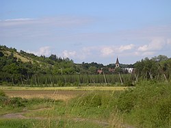
Libořice
| Libořice | |||
|---|---|---|---|
| Municipality | |||
 |
|||
|
|||
| Coordinates: 50°14′37″N 13°31′14″E / 50.24361°N 13.52056°ECoordinates: 50°14′37″N 13°31′14″E / 50.24361°N 13.52056°E | |||
| Country |
|
||
| Region | Ústí nad Labem | ||
| District | Louny | ||
| Area | |||
| • Total | 10.29 km2 (3.97 sq mi) | ||
| Elevation | 259 m (850 ft) | ||
| Population (2006) | |||
| • Total | 338 | ||
| • Density | 33/km2 (85/sq mi) | ||
| Postal code | 439 31 | ||
| Website | http://www.liborice.cz | ||
Libořice is a village and municipality (obec) in Louny District in the Ústí nad Labem Region of the Czech Republic.
The municipality covers an area of 10.29 square kilometres (3.97 sq mi), and has a population of 338 (as at 28 August 2006).
Libořice lies approximately 24 kilometres (15 mi) south-west of Louny, 60 km (37 mi) south-west of Ústí nad Labem, and 67 km (42 mi) west of Prague.
...
Wikipedia


