Lake Gogebic State Park
| Lake Gogebic State Park | |
|---|---|
|
IUCN category V (protected landscape/seascape)
|
|

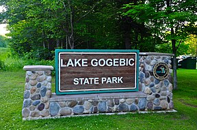
Lake Gogebic State Park, July 2014.
|
|
| Location | Upper Peninsula, Gogebic County, Michigan USA |
| Nearest city | Wakefield, Michigan |
| Coordinates | 46°27′27″N 89°34′34″W / 46.4575°N 89.57611°WCoordinates: 46°27′27″N 89°34′34″W / 46.4575°N 89.57611°W |
| Area | 360 acres (150 ha) |
| Established | 1930 |
| Governing body | Michigan Department of Natural Resources |
| www |
|
Lake Gogebic State Park is a 360-acre (150 ha) state park in the Upper Peninsula of Michigan on the shore of Lake Gogebic. Lake Gogebic is the largest inland lake in the Upper Peninsula. There is nearly a mile of beach front access. Camping is available with rustic to modern facilities. A 2-mile (3.2 km) nature trail winds through the Ottawa National Forest.
In 1926, Gogebic County purchased land on Lake Gogebic. The county then gave the land to the State of Michigan. E. J. Stickley and W. Bonafas gave additional land to the state and in 1930 the State Park opened.
Two gravestones were discovered in the park in 1962. One engraved with "1822 JOHN KEY" and the other with "1824 WHITH". Researchers say that they could belong to fur traders or others with undertakings with the Native Americans.
...
Wikipedia

