Lake Bruin State Park
| Lake Bruin State Park | |
|---|---|

Entrance sign at Lake Bruin State Park
|
|
|
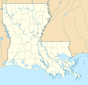
Map of Louisiana, United States of America
|
|
| Location | Tensas Parish, Louisiana, United States of America |
| Coordinates | 31°57′38″N 91°12′04″W / 31.96056°N 91.20111°WCoordinates: 31°57′38″N 91°12′04″W / 31.96056°N 91.20111°W |
| Area | 53 acres (0.21 km2; 0.083 sq mi) |
| Established | July 10, 1956 |
| Governing body | Louisiana Office of State Parks |
| http://www.crt.state.la.us/parks/iLkbruin.aspx | |
Lake Bruin State Park, one of twenty-two Louisiana state parks, is located on Lake Bruin, a clear ox-bow lake of the Mississippi River near St. Joseph, the seat of Tensas Parish in the northeastern portion of the state. The lake consists of more than 3,000 acres (12 km²) of water surface. Park visitors enjoy fishing, water sports, and camping. There are cypress trees in the lake which have stood since before the Spaniard Hernando de Soto traveled through the region in the 1540s. The 53-acre (210,000 m2) park was established in 1928 as a fish hatchery. On July 10, 1956, Governor Earl Kemp Long signed legislation authorizing the development of the park. Initially called Lake Bruin Wayside Park, the name was later changed to Lake Bruin State Park. Two weeks later, legislation was signed to acquire the land for the park, long promoted by the then State Representative J.C. Seaman of Waterproof.
The park has twenty-five improved campsites, all with water, electricity, picnic tables, and wheelchair-accessible bathhouses. There is also a primitive camping area for tents. The park has three fishing piers, year-round boat launching, and a shed for docking boats. Rental boats are also available. Large mouth bass are caught year round, with the prime months being April–June and September and October. Crappie or white perch are taken in the early spring. Bluegill fishing is best in shallow waters at each end of the lake.
...
Wikipedia

