La Pobla de Claramunt
| La Pobla de Claramunt | |||
|---|---|---|---|
| Municipality | |||

Avinguda Catalunya
|
|||
|
|||
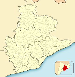
| Location in Catalonia | |||
| Coordinates: 41°33′16″N 1°40′47″E / 41.55444°N 1.67972°ECoordinates: 41°33′16″N 1°40′47″E / 41.55444°N 1.67972°E | |||
| Country |
|
||
| Community |
|
||
| Province | Barcelona | ||
| Comarca | Anoia | ||
| Government | |||
| • Mayor | Santiago Broch Miquel (2015) | ||
| Area | |||
| • Total | 18.5 km2 (7.1 sq mi) | ||
| Elevation | 246 m (807 ft) | ||
| Population (2014) | |||
| • Total | 2,186 | ||
| • Density | 120/km2 (310/sq mi) | ||
| Demonym(s) | Pobletà, pobletana | ||
| Website | www |
||
La Pobla de Claramunt is a municipality in the comarca of the Anoia in Catalonia, Spain. It is situated on the edge of the Òdena Basin at the entrance to the Capellades Gorge. The town is dominated by Claramunt castle, on a hilltop some 150 m above the modern settlement: the castle was, with Castellbell castle, one of the main points of control of access to the Llobregat valley and hence to Barcelona. With neighbouring Capellades, La Pobla de Claramunt is an important centre for paper manufacture. It is served by a station on the FGC railway line R6 from Barcelona and Martorell to Igualada and by the C-244 road from Igualada to Vilafranca del Penedès.
Five outlying villages are included in the municipality of La Pobla de Claramunt (Populations as of 2005):
...
Wikipedia


