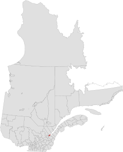
L'Île-d'Orleans Regional County Municipality, Quebec
| L'Île-d'Orléans | |
|---|---|
| Regional county municipality | |
 |
|
| Coordinates: 46°55′N 70°54′W / 46.917°N 70.900°WCoordinates: 46°55′N 70°54′W / 46.917°N 70.900°W | |
| Country |
|
| Province |
|
| Region | Capitale-Nationale |
| Effective | January 1, 1982 |
| County seat | Sainte-Famille |
| Government | |
| • Type | Prefecture |
| • Prefect | Jean-Pierre Turcotte |
| Area | |
| • Total | 268.50 km2 (103.67 sq mi) |
| • Land | 192.81 km2 (74.44 sq mi) |
| Population (2016) | |
| • Total | 7,082 |
| • Density | 34.8/km2 (90/sq mi) |
| • Pop 2006-2011 |
|
| • Dwellings | 3,470 |
| Time zone | EST (UTC−5) |
| • Summer (DST) | EDT (UTC−4) |
| Area code(s) | 418 and 581 |
| Website | www |
L'Île-d'Orléans is a regional county municipality in central Quebec, Canada, in the Capitale-Nationale region. Its seat is Sainte-Famille. The population in the 2011 census was 6,711 persons.
The RCM consists solely of the Île d'Orléans, an island in the Saint Lawrence River just east of Quebec City. It is the smallest RCM in Quebec in terms of land area (though not in total area including water).
There are 6 subdivisions within the RCM:
Highways and numbered routes that run through the municipality, including external routes that start or finish at the county border:
...
Wikipedia
