Kukenán-tepui
| Kukenán Tepui | |
|---|---|

Kukenan Tepui
|
|
| Highest point | |
| Elevation | 2,680 m (8,790 ft) |
| Coordinates | 5°12′36.38″N 60°49′52.18″W / 5.2101056°N 60.8311611°WCoordinates: 5°12′36.38″N 60°49′52.18″W / 5.2101056°N 60.8311611°W |
| Geography | |
| Location | Venezuela |
| Country |
|
| Parent range | Guiana Highlands |
| Geology | |
| Mountain type | Plateau |
| Climbing | |
| Easiest route | Hike |
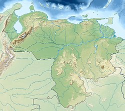
Kukenán, also known as Matawi, is a tepui in Guayana Region, Venezuela. It is 2,680 metres (8,790 ft) high and about 3 km (1.9 mi) long. Kukenan Falls, which is 674 m (2,211 ft) high, is located at the south end of the tepui.
Kukenán is located in Canaima National Park. Next to Kukenán, to the southeast, is Mount Roraima, a better known tepui. Kukenán is more difficult to climb, so it is ascended much less frequently than Mount Roraima.
Scenery on top of Kukenán provided inspiration for the 2009 film Up.
Kukenán-tepui as seen from Mount Roraima
Kukenán viewed from the base
...
Wikipedia

