Khirbet Kerak
| Khirbet al-Karak | |
 |
|
| Alternate name | Beth Yerah, Tell Beth Yerah |
|---|---|
| Location | |
| Coordinates | 32°43′05″N 35°34′19″E / 32.717958°N 35.571864°E |
| Area | c.250 Dunams |
| History | |
| Periods | Bronze Age - Crusader period |
| Site notes | |
| Archaeologists | Na'im Makhouly, Benjamin Mazar, Michael Avi-Yonah, Moshe Sheteklis, Emanuel Dunayevsky, Pesach Bar-Adon, P.L.O. Guy, Ruth Amiran, Rafi Greenberg |
| Website | Tel Bet Yerah Research and Excavation Project |
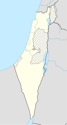
Khirbet Kerak (Arabic: خربة الكرك Khirbet al-Karak, "the ruin of the fortress") or Beth Yerah (Hebrew: בית ירח , "House of the Moon (god)") is a tell (archaeological mound) located on the southern shore of the Sea of Galilee in modern-day Israel. The tell spans an area of over 50 acres—one of the largest in the Levant—and contains remains dating from the Early Bronze Age (c. 3000 BC - 2000 BC) and from the Persian period (c. 450 BC) through to the early Islamic period (c. 1000 AD).
"Khirbet Kerak ware" is a type of Early Bronze Age Syro-Palestinian pottery first discovered at this site. It is also found in other parts of the Levant (including Jericho, Beth Shan, Tell Judeideh, and Ugarit). Khirbet Kerak culture appears to have been a Levantine version of the Early Transcaucasian Culture.
The tell of Khirbet Kerak lies where the Sea of Galilee empties into the Jordan river and rises 15 meters above the level of the Sea of Galilee. It is triangular in shape and approximately 1.2 km by 380 m (at its widest point), covering 60-75 acres. The Jordan river runs to the south, although it previously (until the medieval period at the earliest) ran north and west of it.
Early Bronze Age (3300/3500-2200 BCE) - The 2009 discovery at the tell of a stone palette with Egyptian motifs, including an ankh, points to trade/political relations with the First dynasty of Egypt, at approximately 3000 BCE. Excavators have identified four levels of occupation from the Early Bronze Age (EB). Architectural development shows the procession from (sometimes oval) pit dwellings (I) to mud-brick (II), to basalt foundations with mud-brick (III), and then on to basalt structures (IV), over approximately 1000 years. The basalt houses belong to the same phase as the Khirbet al-Kerak pottery, dated to the Early Bronze Age III. From the earliest phases, the settlement was protected from the south and west by a city wall (the north and east facing the Sea of Galilee). The wall consisted of three connecting parallel walls, forming a massive wall, 25 feet (7.6 m) thick, built of mud-bricks. The gate was on the south and was built of basalt. Evidence of an urban, orthogonal layout was found, dating to the EB II, supporting the claim that the city was one of the regional urban centers of the period.
...
Wikipedia

