Kebri Dahar
|
Kebri Dahar Qabri Dahar |
|
|---|---|
| Town | |
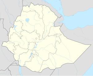
| Location within Ethiopia | |
| Coordinates: 6°44′N 44°16′E / 6.733°N 44.267°E | |
| Country | Ethiopia |
| Region | Somali |
| Zone | Kebri Dahar |
| Elevation | 1,609 m (5,279 ft) |
| Population (2005) | |
| • Total | 57,191 |
| Time zone | EAT (UTC+3) |
Kebri Dahar (Somali: Qabridahare) is a town in the eastern part of Ethiopia known as the Ogaden. Located in the Korahe Zone of the Somali Region, this town has a latitude and longitude of 6°44′N 44°16′E / 6.733°N 44.267°ECoordinates: 6°44′N 44°16′E / 6.733°N 44.267°E and an elevation of 493 meters above sea level. Kebri Dahar is served by Kabri Dar Airport (ICAO code HAKD, IATA: ABK). Also there,s
kebredahar University, Kebredahar Health-science college, Kebredahar teacher Training college, Kebredahar polytechnic college.
There are important educational services in Kebre-dahar City.
The earliest mention of Kebri Dahar is in 1931, when it was described as "a soldier's camp" that suffered from malaria; although the settlement was 500 meters above the river, the scrub between the two had not been cleared and provided the mosquitoes sufficient cover to reach their victims. According to Margery Perham, prior to the Italo-Abyssinian War, the Italians established a garrison at Kebri Dahar.
...
Wikipedia

