Kaveri Wildlife Sanctuary
| Cauvery Wildlife Sanctuary | |
|---|---|
| Bheemeshwari Wildlife Sanctuary | |
|
IUCN category IV (habitat/species management area)
|
|

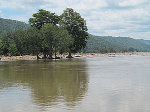
A view of Cauvery Wildlife Sanctuary during summer
|
|
|
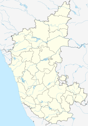
Map of Karnataka
|
|
| Location | Karnataka, India |
| Nearest city | Mandya |
| Coordinates | 12°10′12″N 77°32′35″E / 12.170°N 77.543°ECoordinates: 12°10′12″N 77°32′35″E / 12.170°N 77.543°E |
| Area | 1,027.53 km2 (396.73 sq mi) |
| Established | 1987 |
| Governing body |
Government of India, MOEF, Karnataka Forest Department |
The Cauvery Wildlife Sanctuary is a protected area located in the Mandya, Chamarajanagar and Ramanagar districts of Karnataka, India. The Cauvery River passes through its midst. It was established on 14 January 1987 under Section 18 of the Wildlife Protection Act 1973 with the objective of providing protection, conservation and development of Wildlife and its environment. The sanctuary spans an area of 102,753 hectares (253,910 acres). On its east, it adjoins Dharmapuri forest division of Tamil Nadu state.
The forest types in the sanctuary are of dry deciduous forest, southern tropical dry thorn and riverine forests; Terminalia arjuna and jambul are the two major species of trees.
Among the many faunal species found in the sanctuary, malabar giant squirrel (Ratufa indica maxima), grizzled giant squirrel (Ratufa macroura) are under the highly endangered category. The sanctuary is also home to many reptile species, 280 bird species which include 19 new species and 25 bird species of Malayan Tropical Dry Zone.
The sanctuary, established on 14 January 1987 under Section 18 of the Wildlife Protection Act 1973, is spread over an area of 1,027.53 square kilometres (396.73 sq mi) It lies in an elevation range of 125–1,514 metres (410–4,967 ft) (“Ponnachi Betta” is the highest mountain in the centre of the sanctuary) with its northern and southern boundary delimited by the Cauvery River on the Eastern Ghats, which drains from west to east. Its eastern and northeastern borders are bounded by the Tamil Nadu state. The river forms the interstate boundary between Karnataka and Tamil Nadu states over a river reach of 73 kilometres (45 mi) with dense forests on both banks. The sanctuary is named after the Cauvery River which flows through it over a total length of 101 kilometres (63 mi). Important places along the river stretch flowing through the sanctuary covering its forested central and eastern parts are the Hogenakal Falls (meaning: "smoking rock" in Kannada language), Mekedatu (meaning: "goats leap"), and Sangam (confluence with the Arkavathi River. An important religious centre within the sanctuary is Muthathi Anjaneya temple. Also located within the sanctuary are an ecotourism fishing resort and the Cauvery Fishing Camp at Bhimeshwari.
...
Wikipedia

