Irymple, Victoria
|
Irymple Victoria |
|||||||||||||
|---|---|---|---|---|---|---|---|---|---|---|---|---|---|

The Calder Highway, passing through Irymple. Approaching the level crossing on the Mildura Line.
|
|||||||||||||
| Coordinates | 34°14′0″S 142°10′0″E / 34.23333°S 142.16667°ECoordinates: 34°14′0″S 142°10′0″E / 34.23333°S 142.16667°E | ||||||||||||
| Population | 5,740 (2006 census) | ||||||||||||
| Postcode(s) | 3498 | ||||||||||||
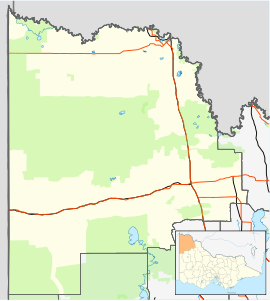
| Location | |||||||||||||
| LGA(s) | Rural City of Mildura | ||||||||||||
| State electorate(s) | Mildura | ||||||||||||
| Federal Division(s) | Mallee | ||||||||||||
|
|||||||||||||
Irymple (/ˈaɪərɪmpəl/ EYE-rim-pəl) is a town in the state of Victoria in Australia. Located in the region of Sunraysia in the far North-West Victoria, Irymple is 6 km south of Mildura and 550 km northwest of Melbourne. At the 2006 census, Irymple and the surrounding area had a population of 5,740.
The township was established soon after Mildura, the Post Office opening on 17 February 1892.
The township has one kindergarten (Irymple Kindergarten), two primary schools (Irymple Primary School and Irymple South Primary School), one secondary school (Irymple Secondary College, years 7-10) and two P-10 schools (the Baptist Mildura Christian College and the Adventist Henderson College).
Irymple has a football and netball club competing in the Sunraysia Football Netball League, a soccer club, a lawn bowls club, a bocce club, a swimming club and a basketball association, all of which have home grounds located in the township.
...
Wikipedia

