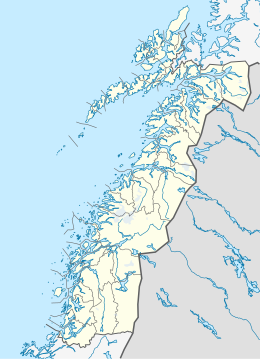
Hinnøya

Gullesfjordbotn, at the head of Gullesfjorden, partly a nature reserve
|
|
| Geography | |
|---|---|
| Location | Northern Norway |
| Coordinates | 68°32′N 15°50′E / 68.533°N 15.833°ECoordinates: 68°32′N 15°50′E / 68.533°N 15.833°E |
| Area | 2,204.7 km2 (851.2 sq mi) |
| Highest elevation | 1,262 m (4,140 ft) |
| Highest point | Møysalen |
| Administration | |
|
Norway
|
|
| Counties | Nordland and Troms |
| Largest settlement | Harstad (pop. 23,242) |
| Demographics | |
| Ethnic groups | Norwegian |
| Borkenes/Kvæfjord (1961-90) | ||||||||||||||||||||||||||||||||||||||||||||||||||||||||||||
|---|---|---|---|---|---|---|---|---|---|---|---|---|---|---|---|---|---|---|---|---|---|---|---|---|---|---|---|---|---|---|---|---|---|---|---|---|---|---|---|---|---|---|---|---|---|---|---|---|---|---|---|---|---|---|---|---|---|---|---|---|
| Climate chart () | ||||||||||||||||||||||||||||||||||||||||||||||||||||||||||||
|
||||||||||||||||||||||||||||||||||||||||||||||||||||||||||||
|
||||||||||||||||||||||||||||||||||||||||||||||||||||||||||||
| J | F | M | A | M | J | J | A | S | O | N | D |
|
81
−1
−5
|
74
0
−5
|
59
2
−4
|
47
4
−1
|
33
9
3
|
40
13
7
|
51
16
10
|
56
15
9
|
82
11
6
|
109
6
2
|
94
2
−2
|
94
0
−4
|
| Average max. and min. temperatures in °C | |||||||||||
| Precipitation totals in mm | |||||||||||
| Source: met.no/klimastatistikk/eklima | |||||||||||
| Imperial conversion | |||||||||||
|---|---|---|---|---|---|---|---|---|---|---|---|
| J | F | M | A | M | J | J | A | S | O | N | D |
|
3.2
31
23
|
2.9
31
23
|
2.3
35
26
|
1.9
40
30
|
1.3
48
38
|
1.6
56
45
|
2
60
49
|
2.2
59
48
|
3.2
51
42
|
4.3
44
35
|
3.7
36
29
|
3.7
33
24
|
| Average max. and min. temperatures in °F | |||||||||||
| Precipitation totals in inches | |||||||||||
...
Wikipedia

