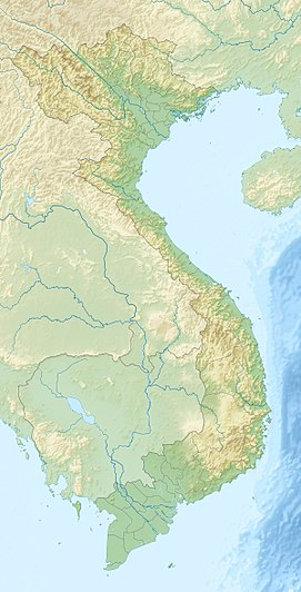
Hải Vân Pass
| Hải Vân Pass | |
|---|---|
| Đèo Hải Vân | |

An overhead view of the pass
|
|
| Location | Vietnam |
| Range | Annamite Range |
| Coordinates | 16°12′N 108°8′E / 16.200°N 108.133°ECoordinates: 16°12′N 108°8′E / 16.200°N 108.133°E |
The Hải Vân Pass (Vietnamese: Đèo Hải Vân, IPA: [ɗɛ̂w ha᷉ːj vən], "ocean cloud pass"), is an approximately 21 km long mountain pass on National Route 1A in Vietnam. It traverses a spur of the larger Annamite Range that juts into the South China Sea, on the border of Đà Nẵng and Thừa Thiên–Huế Province, near Bạch Mã National Park. Its name refers to the mists that rise from the sea, reducing visibility. Historically, the pass was a physical division between the kingdoms of Champa and Đại Việt.
The twisting road on the pass has long been a challenge for drivers traveling between the cities of Huế and Đà Nẵng. Since the completion of Hải Vân Tunnel, traffic flow and safety have improved. The pass has been the scene of at least two of Vietnam's most serious rail accidents, and at least one air crash.
The Hải Vân Pass crosses over a spur of the Trường Sơn (Annamite) Range that emerges from the west and juts into the South China Sea, forming the Hải Vân Peninsula and the adjoining Son Tra Island. The pass, which once formed the boundary between the kingdoms of Đại Việt and Champa, also forms a boundary between the climates of northern and southern Vietnam, sheltering the city of Da Nang from the "Chinese winds" that blow in from the northwest. During the winter months (November–March), for instance, weather on the north side of the pass might be wet and cold, while the south side might be warm and dry.
...
Wikipedia

