Gunnar Mine

The headframe at the Gunnar Mine
|
|
| Location | |
|---|---|
| Location | Athabasca Basin |
| Province | Saskatchewan |
| Country | Canada |
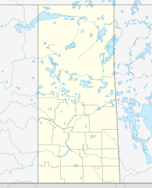
| Coordinates | 59°23′06″N 108°53′13″W / 59.385°N 108.887°WCoordinates: 59°23′06″N 108°53′13″W / 59.385°N 108.887°W |
| Production | |
| Products | Uranium |
| History | |
| Opened | 1955 |
| Closed | 1963 |
| Owner | |
| Company | Gunnar Mines Ltd |
| Year of acquisition | 1952 (discovery) |
The Gunnar Mine was a uranium mine in northern Saskatchewan, Canada located around 25 kilometres (16 mi) southwest of the community of Uranium City. The mine was situated on the Crackingstone Peninsula on the north shore of Lake Athabasca in the Beaverlodge Uranium District.
The Gunnar deposit was discovered in July 1952 and operated as both an open pit (1955–1961) and underground (1957–1963) mine. The mine ceased production in 1963.
The Gunnar Mine headframe was demolished on August 4, 2011.
The Gunnar uranium deposit occurred in Precambrian altered granitic gneiss. Pitchblende was mined to a depth of 425 m between 1955 and 1963.
...
Wikipedia

