Gulf of Mannar Marine National Park
| Gulf of Mannar Marine National Park | |
|---|---|
|
IUCN category II (national park)
|
|

|
|
|
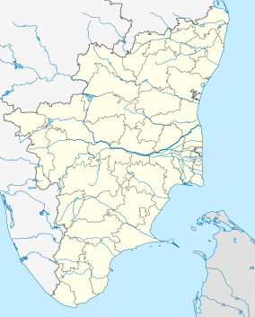
Location in Tamil Nadu, India
|
|
| Location | Coastal regions of Thoothukkudi and Ramanathapuram District, Tamil Nadu, India |
| Nearest city | Rameswaram |
| Coordinates | 9°07′40″N 79°27′58″E / 9.127823°N 79.466155°ECoordinates: 9°07′40″N 79°27′58″E / 9.127823°N 79.466155°E |
| Area | 560 km2 (220 sq mi) |
| Established | 1986 |
| Governing body | Tamil Nadu Ministry of Environment and Forests |
| http://forests.tn.nic.in/WildBiodiversity/np_gmmnp.html | |
The Gulf of Mannar Marine National Park is a protected area of India consisting of 21 small islands (islets) and adjacent coral reefs in the Gulf of Mannar in the Indian Ocean. It lies 1 to 10 km away from the east coast of Tamil Nadu, South India for 160 km between Thoothukudi (Tuticorin) and Dhanushkodi. It is the core area of the Gulf of Mannar Biosphere Reserve which includes a 10 km buffer zone around the park, including the populated coastal area. The park has a high diversity of plants and animals in its marine, intertidal and near shore habitats. Public access inside the Park is limited to glass bottom boat rides.
The 560 km2 (220 sq mi) park is part of the 140 km long and 25 km wide Mannar barrier reef. It lies between 8° 47’ to 9° 15’ N latitude and 78° 12’ to 79° 14’ E longitude. The 21 islands vary from 0.25 ha (.6 acre) to 130 ha. (321.2 acres). Total area of the islands is 6.23 km2 (2.41 sq mi)
The islands (listed southwest to northeast)
Tuticorin group: (4 islands)
Vaan, 16.0 ha 8°50′11″N 78°12′38″E / 8.83639°N 78.21047°E
Koswari, 19.50 ha 8°52′08″N 78°13′30″E / 8.86879°N 78.22506°E
Vilanguchalli, 0.95 ha 8°56′17″N 78°16′11″E / 8.93815°N 78.26969°E, now 1 m below mean low tide level as a result of excessive coral mining.
Kariyachalli, 16.46 ha 8°57′15″N 78°15′08″E / 8.95409°N 78.25235°E
...
Wikipedia


