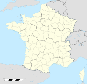
Fort de Maulde
| Fort de Maulde | |
|---|---|
| Part of Maginot Line New Frontiers, Séré de Rivières system | |
| Maulde, France | |
| Coordinates | 50°29′43″N 3°25′43″E / 50.49526°N 3.42858°E |
| Type | Fort |
| Site information | |
| Controlled by | France |
| Condition | Abandoned |
| Site history | |
| Built | 1881-1884 |
| Built by | STG (1930s) |
| Materials | Masonry, concrete |
| Battles/wars | Battle of France |
The Fort de Maulde, also known as Fort de Beurnonville and the Ensemble de Maulde, is located to the south of Maulde, France. It is part of the Fortified Sector of the Escaut, an extension of the Maginot Line. The Séré de Rivières system fort was built 1881-1884. In 1936-37 the old fort, commanding high ground behind Maulde, was altered for more modern fortifications. It was evacuated by its garrison in 1940 during the Battle of France as part of the French retreat from the border with Belgium.
The site at the top of the Mont de Ligne dominates the plains of the Scarpe and the Escaut, occupying the site of an old military encampment used in 1792 by General Dumouriez against the Austrians. It is within 900 metres (3,000 ft) of the Belgian border. The fort is named for Pierre de Ruel, marquis de Beurnonville, a Marshal of France.
The original fort is typical of the Séré de Rivières system, with a low wall, surrounded by a ditch, which is in turn defended by two caponiers. The roof of the single-level barracks is concreted and supports an artillery platform, or cavalier. A relatively small fort, it was disarmed in 1912, then rearmed in 1914 with 90mm guns.
In the 1930s the fort was chosen as a site for fortifications associated with the Maginot Line extension around Valenciennes, part of the "New Fronts" program. An observation post and two casemates were built in 1936-37 within the walls of the fort. The casemates, facing east and west, were each furnished with two 75mm guns and two automatic rifle ports. To the south, just outside the walls, a north-facing casemate for a 155mm field gun was built, aligned to cover the bridges at Tournai. None of the casemates or the observatory were connected by underground passages in the manner of a fully developed Maginot fortification. A short distance to the north a chain of casemates covered an anti-tank ditch extending about 2,000 metres (6,600 ft). The position is described as an "ensemble" rather than an ouvrage, as a true Maginot fortification would be termed, due to the absence of connecting underground galleries and support facilities. Nevertheless, with four 75mm guns and a 155mm guns, the position was heavily armed. Mauldet was not constructed by CORF (Commission d'Organisation des Régions Fortifiées), the Maginot Line's design and construction agency, but by the Army Engineer Service (Service Technique du Génie (STG)), further removing it from the main Maginot Line. As many as five artillery casemates were planned, but only three were built. In 1939 work was undertaken to link the observation post, 75mm and 155mm casemates by underground passages in a manner similar to Maginot worsk. The excavation was not completed before the outbreak of war in 1940.
...
Wikipedia

