Flöha
| Flöha | ||
|---|---|---|

Flöha
|
||
|
||
| Coordinates: 50°51′21″N 13°4′17″E / 50.85583°N 13.07139°ECoordinates: 50°51′21″N 13°4′17″E / 50.85583°N 13.07139°E | ||
| Country | Germany | |
| State | Saxony | |
| District | Mittelsachsen | |
| Government | ||
| • Mayor | Friedrich Schlosser (CDU) | |
| Area | ||
| • Total | 27.61 km2 (10.66 sq mi) | |
| Elevation | 275 m (902 ft) | |
| Population (2015-12-31) | ||
| • Total | 10,967 | |
| • Density | 400/km2 (1,000/sq mi) | |
| Time zone | CET/CEST (UTC+1/+2) | |
| Postal codes | 09557 | |
| Dialling codes | 03726 | |
| Vehicle registration | FG, BED, DL, FLÖ, HC, MW, RL | |
| Website | www.floeha.de | |
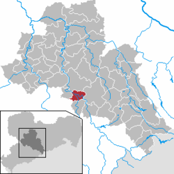
Flöha is a town in the district of Mittelsachsen, in the Free State of Saxony, Germany. Flöha is situated on the confluence of the rivers Zschopau and Flöha, 10 km (6.21 mi) east of Chemnitz.
During World War II, a subcamp of Flossenbürg concentration camp was located in Flöha.
...
Wikipedia


