Eola Hills
| Eola Hills | |
|---|---|

Eola Hills
|
|
| Highest point | |
| Elevation | 1,170 ft (360 m) |
| Geography | |
|
Location of Eola Hills in Oregon
|
|
| Country | United States |
| State | Oregon |
| District | Yamhill County |
| Range coordinates | 45°4′31.425″N 123°7′25.362″W / 45.07539583°N 123.12371167°WCoordinates: 45°4′31.425″N 123°7′25.362″W / 45.07539583°N 123.12371167°W |
| Topo map | USGS Mission Bottom |
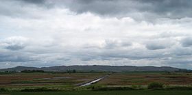
The Eola Hills are a range of hills northwest of Salem, Oregon, United States. They stretch from the community of Eola about 10 miles (16 km) north to Yamhill County.
They are divided from the Salem Hills by the Willamette River at Eola.
...
Wikipedia

