Drechterland
| Drechterland | |||
|---|---|---|---|
| Municipality | |||

Town centre of Schellinkhout
|
|||
|
|||
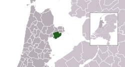
 Location in North Holland |
|||
| Coordinates: 52°42′N 5°11′E / 52.700°N 5.183°ECoordinates: 52°42′N 5°11′E / 52.700°N 5.183°E | |||
| Country | Netherlands | ||
| Province | North Holland | ||
| Established | 1 January 1979 | ||
| Government | |||
| • Body | Municipal council | ||
| • Mayor | Rob van der Riet (CDA) | ||
| Area | |||
| • Total | 80.74 km2 (31.17 sq mi) | ||
| • Land | 59.10 km2 (22.82 sq mi) | ||
| • Water | 21.64 km2 (8.36 sq mi) | ||
| Elevation | −1 m (−3 ft) | ||
| Population (February 2017) | |||
| • Total | 19,278 | ||
| • Density | 326/km2 (840/sq mi) | ||
| Time zone | CET (UTC+1) | ||
| • Summer (DST) | CEST (UTC+2) | ||
| Postcode | 1606–1609, 1616–1617, 1696–1697 | ||
| Area code | 0228, 0229 | ||
| Website | www |
||
Drechterland (![]() pronunciation ) is a municipality in the Netherlands, in the province of North Holland and the region of West-Frisia. The municipality was formed in 1979, in a merger of the former municipalities of Hoogkarspel, Westwoud en Oosterblokker. Its original name, Bangert, was changed to "Drechterland" in 1980. In 2006, the former municipality of Venhuizen was added to Drechterland.
pronunciation ) is a municipality in the Netherlands, in the province of North Holland and the region of West-Frisia. The municipality was formed in 1979, in a merger of the former municipalities of Hoogkarspel, Westwoud en Oosterblokker. Its original name, Bangert, was changed to "Drechterland" in 1980. In 2006, the former municipality of Venhuizen was added to Drechterland.
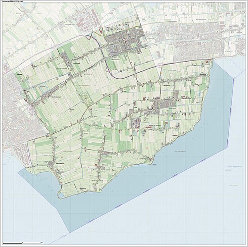
The municipality of Drechterland consists of the following cities, towns, villages and/or districts: Hem, Hoogkarspel, Oosterblokker, Oosterleek, Oosterwijzend, Schellinkhout, Venhuizen, Westerwijzend, Westwoud, Wijdenes.
...
Wikipedia


