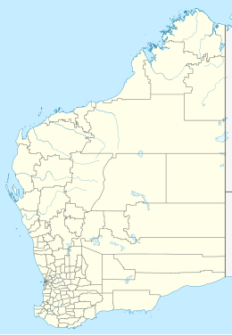
Dirk Hartog Island
| Dirk Hartog Island (Western Australia) | |
| Geography | |
|---|---|
| Location | Indian Ocean |
| Coordinates | 25°50′S 113°05′E / 25.833°S 113.083°ECoordinates: 25°50′S 113°05′E / 25.833°S 113.083°E |
| Area | 620 km2 (240 sq mi) |
| Length | 80 km (50 mi) |
| Width | 15 km (9.3 mi) |
| Highest elevation | 188 m (617 ft) |
| Highest point | Herald Heights |
| Administration | |
|
Australia
|
|
| State | Western Australia |
| Region | Gascoyne |
| Shire | Shire of Shark Bay |
Dirk Hartog Island is an island off the Gascoyne coast of Western Australia, within the Shark Bay World Heritage Area. It is about 80 kilometres (50 miles) long and between 3 and 15 kilometres (1.9 and 9.3 miles) wide and is Western Australia's largest and most western island. It covers an area of 620 square kilometres (240 square miles) and is approximately 850 kilometres (530 miles) north of Perth. It was named after Dirk Hartog, a Dutch sea captain, who first encountered the Western Australian coastline close to the 26th parallel south latitude, which runs through the island. After leaving the island, Hartog continued his voyage north-east along the mainland coast. Hartog gave the Australian mainland one of its earliest known names, as Eendrachtsland, which he named after his ship Eendracht, meaning "Unity".
The island was discovered on 25 October 1616 by Hartog in the Dutch East India Company (VOC) ship Eendracht from Cape Town to Batavia (Jakarta). The names of senior people on board, including Hartog's were inscribed with the date on a pewter plate and nailed to a post.
In 1697 the Dutch captain Willem de Vlamingh landed on the island and discovered Hartog's plate. He replaced it with one of his own, which included a copy of Hartog's inscription, and took the original plate home to Amsterdam, where it is still kept in the Rijksmuseum Amsterdam.
On 28 March 1772, Breton navigator Louis Aleno de St Aloüarn landed on the island and became the first European to formally take possession of Western Australia in the name of French king Louis XV. This involved a ceremony (which took place on 30 March) during which one or more bottles were buried on the island. One bottle was recorded as containing an annexation document and a coin. In 1998 a bottle cap made of lead with an écu coin set in it, was first discovered at Turtle Bay by a team led by Philippe Godard and Max Cramer. This triggered a broader search by a team from the Western Australian Museum led by Myra Stanbury, with Bob Sheppard, Bob Creasy and Dr Michael McCarthy. On 1 April 1998, an intact bottle bearing a lead cap identical to the one recovered earlier, also with a coin set in it, was unearthed. No trace of an annexation document has yet been found.
...
Wikipedia

