Dhosi Hill
| Dhosi Hill | |
|---|---|

Aerial view of Dhosi Hill showing ancient 'Parikrama'
|
|
| Highest point | |
| Elevation | 1,170 m (3,840 ft) |
| Listing | List of Indian states and territories by highest point |
| Coordinates | 28°03′40″N 76°01′55″E / 28.06111°N 76.03194°ECoordinates: 28°03′40″N 76°01′55″E / 28.06111°N 76.03194°E |
| Geography | |
|
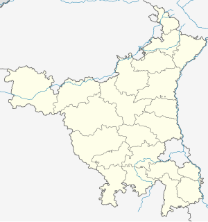
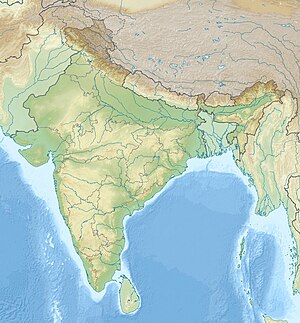
Location in Haryana
|
|
| Location | Mahendragarh district, Haryana, India |
| Parent range | Aravali Range |
| Climbing | |
| Easiest route | Hike / scramble |
Dhosi Hill is an extinct volcano, standing alone in the North-West end of the Aravali mountain range with height varying from about 345 to 470 meters from the surrounding land and 1170 meters from the sea level; has temple, pond, fort and caves on the top and forest around it.
The hill is unique, for the reasons, it has all the physical features of a perfect volcanic hill with distinct crater, lava still lying on it and giving a perfect conical view from top.
Dhosi Hill is located on the borders of the Indian states of Haryana and Rajasthan. The Haryana portion lies in Mahendragarh district to the south, 5 kilometres (3.1 mi) from Narnaul on Singhana Road; the Rajasthan portion lies in Jhunjhunu district to the north.
While the ground level is about 900 feet (270 m) above sea level, the hill top is another 900 feet above the ground level.
The hill presently falls under the administration of three village panchayats, being those of Dhosi in Jhunjhunu district of Rajasthan state and of Thana and Kultajpur in Mahendragarh district of Haryana state. These villages are situated on the three waterfalls that become active during the monsoons that occur in July–August, being created from the overflow of a reservoir at the summit. The waterfalls are mentioned in the epic Mahabharata. Each village also has an ancient water reservoir to augment the supply for villagers and animals.
Dhosi Hill has remnants of a fort built by Hemu about 500 years ago. There are thick walls, up to 25 feet (7.6 m) high and 40 feet (12 m) wide on even the steepest slopes and the top of the volcano. The fort was constructed to safeguard the heritage and ashrams on the hill from frequent attacks by Muslim invaders during the medieval period. To replace the old temple, a fort modeled on the temple of Chyavana was built at the crater of the hill in the 1890s by the Bhargava community.
...
Wikipedia


