Devil's Garden (Grand Staircase-Escalante National Monument)
| Devils Garden | |
|---|---|
|
IUCN category III (natural monument or feature)
|
|

Metate Arch
|
|
| Location | Garfield County, Utah, United States |
| Nearest city | Escalante, Utah |
| Coordinates | 37°34′57″N 111°24′53″W / 37.58250°N 111.41472°WCoordinates: 37°34′57″N 111°24′53″W / 37.58250°N 111.41472°WUSGS |
| Area | 640 acres (2.6 km2) |
| Designated | December 31, 1979 |
| Governing body | U.S. Bureau of Land Management |
| Official website | |
| Devils Garden | |
|---|---|
| Elevation | 1,598 m (5,243 ft) |
| Time zone | Mountain (MST) (UTC-7) |
| • Summer (DST) | MDT (UTC-6) |
The Devil's Garden of the Grand Staircase-Escalante National Monument (GSENM) in south central Utah, the United States, is a protected area featuring hoodoos, natural arches and other sandstone formations. The United States Geological Survey (USGS) designated the name Devils Garden—without an apostrophe according to USGS naming conventions—on December 31, 1979. The area is also known as the Devils Garden Outstanding Natural Area within the National Landscape Conservation System.
The formations in the Devils Garden were created, and continue to be shaped, by various weathering and erosional processes. These natural processes have been shaping sandstone layers formed more than 166 million years ago during the Jurassic period's Middle epoch.
The Bureau of Land Management (BLM) administers the Devils Garden and the entire GSENM which is the first National Monument assigned to the BLM.
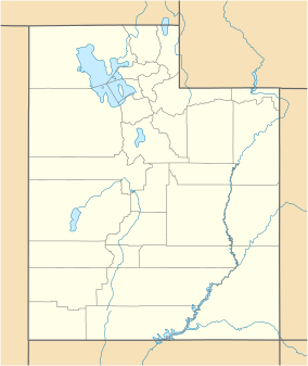
The Devils Garden is located 17 mi (27 km) by road southeast of Escalante, Utah. To the west of the area are the Straight Cliffs which define the eastern edge of the Kaiparowits Plateau. To the east of the area is the Escalante River whose tributaries have formed many slot canyons. To the north is the Dixie National Forest and to the south are the Hole-in-the-Rock and Lake Powell which are located within the Glen Canyon National Recreation Area. The Devils Garden is situated at an elevation of 5,243 ft (1,598 m) above sea level in Garfield County, Utah. The area measures 640 acres which is equal to 1 square mile (2.6 square kilometres).
...
Wikipedia


