Dangila
| Dangila | |
|---|---|
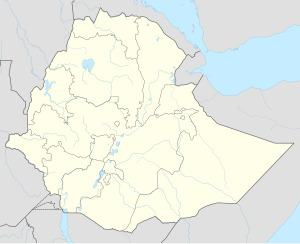
| Location in Ethiopia | |
| Coordinates: 11°16′N 36°50′E / 11.267°N 36.833°E | |
| Country | Ethiopia |
| Region | Amhara Region |
| Zone | Agew Awi Zone |
| Population (2005) | |
| • Total | 26,704 (est) |
| Time zone | EAT (UTC+3) |
Dangila is a town in northwestern Ethiopia. Located in the Agew Awi Zone of the Amhara Region, this town has a latitude and longitude of 11°16′N 36°50′E / 11.267°N 36.833°ECoordinates: 11°16′N 36°50′E / 11.267°N 36.833°E with an elevation of 2137 meters above sea level. It is the largest of three towns in Dangila woreda.
One of the earliest mentions of Dangila was when the Emperor Susenyos passed through the town in 1620.
As late as the 1930s, Dangila was an important center of the African slave trade. Nagadras Habtewerq, director of customs in the town during the early 1930s, achieved a measure of success in liberating slaves despite the determined opposition of influential Gojjame figures like the slaver Fitawrari Zelleqe.
The British maintained a consulate in Dangila in the 1920s and 1930s, manned by R.E. Cheesman, who spent a considerable amount of energy mapping Agawmeder and nearby Gojjam.
...
Wikipedia

