Cluff Lake Airport
| Cluff Lake Airport | |||||||||||
|---|---|---|---|---|---|---|---|---|---|---|---|
| Summary | |||||||||||
| Airport type | |||||||||||
| Operator | |||||||||||
| Location | Cluff Lake mine, Saskatchewan | ||||||||||
| Time zone | CST (UTC−06:00) | ||||||||||
| Elevation AMSL | 1,103 ft / 336 m | ||||||||||
| Coordinates | 58°23′29″N 109°30′59″W / 58.39139°N 109.51639°WCoordinates: 58°23′29″N 109°30′59″W / 58.39139°N 109.51639°W | ||||||||||
| Map | |||||||||||
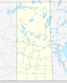
| Location in Saskatchewan | |||||||||||
| Runways | |||||||||||
|
|||||||||||
|
Source: Canada Flight Supplement
|
|||||||||||
Cluff Lake Airport, (IATA: XCL, TC LID: CJS3), is a decommissioned airstrip located near Cluff Lake mine in far-northwestern Saskatchewan, Canada at the northern terminus of Saskatchewan Highway 955.
This aerodrome served a now-closed uranium mine.
...
Wikipedia


