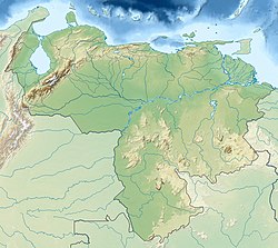
Cerro Aracamuni
| Cerro Aracamuni | |
|---|---|
| Highest point | |
| Elevation | 1,600 m (5,200 ft) |
| Coordinates | 01°34′03″N 65°52′52″W / 1.56750°N 65.88111°WCoordinates: 01°34′03″N 65°52′52″W / 1.56750°N 65.88111°W |
| Geography | |
| Location | Amazonas, Venezuela |
Cerro Aracamuni is a tepui in Amazonas state, Venezuela. Part of the Neblina–Aracamuni Massif, it lies north of Cerro Avispa and the vast complex of Cerro de la Neblina. Cerro Aracamuni and Cerro Avispa share a common slope area; they have a combined summit area of 238 km2 (92 sq mi) and an estimated combined slope area of 658 km2 (254 sq mi). Both of these cerro-plateaus have a maximum elevation of around 1,600 metres (5,200 ft).
...
Wikipedia

