Cave Lake State Park
| Cave Lake State Park | |
| Nevada State Park | |
|
Fishing on Cave Lake
|
|
| Country | |
|---|---|
| State | |
| County | White Pine |
| Elevation | 7,198 ft (2,194 m) |
| Coordinates | 39°11′23″N 114°43′21″W / 39.18972°N 114.72250°WCoordinates: 39°11′23″N 114°43′21″W / 39.18972°N 114.72250°W |
| Area | 4,500 acres (1,821 ha) |
| Established | 1973 |
| Management | Nevada Division of State Parks |
| Website: Cave Lake State Park | |
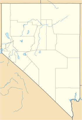
Cave Lake State Park is a public recreation area located approximately 15 miles (24 km) southeast of Ely in White Pine County, Nevada. The state park is situated on Success Summit Road (former Nevada State Route 486) at an elevation of 7,000 feet (2,100 m) within the northern section of the Schell Creek Range. The park features a 32-acre (13 ha) reservoir for fishing and flat-wake boating.
The Cave Creek Dam which created Cave Lake was constructed in 1932. The facility was purchased by the Nevada Department of Wildlife in 1971 for $10. Two years later it was transferred to Nevada State Parks. The park saw an increase in size of 2,980 acres (1,210 ha) in 2015 with the completion of a land transfer from the U.S. Forest Service.
The park is popular for brown and rainbow trout fishing, ice fishing, crawdadding, camping, and picnicking. Hiking is offered on four developed trails, three to five miles in length. For overnight stays, the park offers a yurt and two designated campgrounds, Elk Flat and Lake View, with modern facilities. Winter activities include ice fishing, ice skating, cross-country skiing, and snowmobiling. Winter fireworks and an ice and snow sculpture contest are featured during the annual White Pine Fire and Ice Show which takes place in January.
...
Wikipedia


