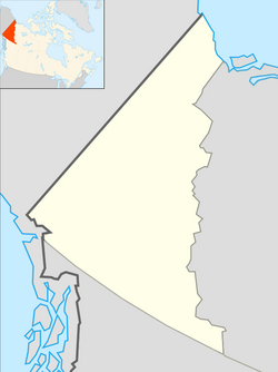
Carcross, Yukon
|
Carcross Caribou Crossing |
|
|---|---|

Golden Spike Monument at Carcross, Yukon
|
|
| Coordinates: 60°10′03″N 134°42′26″W / 60.16750°N 134.70722°WCoordinates: 60°10′03″N 134°42′26″W / 60.16750°N 134.70722°W | |
| Country | Canada |
| Territory | Yukon |
| Area | |
| • Land | 0.74 km2 (0.29 sq mi) |
| Elevation | 659 m (2,161 ft) |
| Population (2016) | |
| • Total | 301 |
| • Density | 17.9/km2 (46/sq mi) |
| • Change 2006-11 |
|
| Time zone | Pacific (PST) (UTC-8) |
| • Summer (DST) | PDT (UTC-7) |
Carcross, originally known as Caribou Crossing, is an unincorporated community in Yukon, Canada, on Bennett Lake and Nares Lake. It is home to the Carcross/Tagish First Nation. At the 2011 census it had a population of 289.
It is 74 km (46 mi) south-southeast by the Alaska Highway and the Klondike Highway from Whitehorse. The south end of the Tagish Road is in Carcross. Carcross is also on the White Pass and Yukon Route railway.
Caribou Crossing was a fishing and hunting camp for Inland Tlingit and Tagish people. 4,500-year-old artifacts from First Nations people living in the area have been found in the region.
Caribou Crossing was named after the migration of huge numbers of caribou across the natural land bridge between Lake Bennett and Nares Lake. That caribou herd was decimated during the Klondike Gold Rush, but a recovery program raised the number of animals to about 450.
The modern village began in 1896, during the Klondike Gold Rush. At the time, Caribou Crossing was a popular stopping place for prospectors going to and from the gold fields of Dawson City.
Caribou Crossing was also a station for the Royal Mail and the Dominion Telegraph Line, and it served as a communications point on the Yukon River.
In 1904, Caribou Crossing was renamed Carcross as a result of some mail mix-ups with the Cariboo Regional District in nearby British Columbia.
...
Wikipedia

