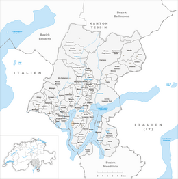
Carabietta
| Carabietta | ||
|---|---|---|
| Former municipality of Switzerland | ||
|
||
| Coordinates: 45°58′N 8°54′E / 45.967°N 8.900°ECoordinates: 45°58′N 8°54′E / 45.967°N 8.900°E | ||
| Country | Switzerland | |
| Canton | Ticino | |
| District | Lugano | |
| Area | ||
| • Total | 0.46 km2 (0.18 sq mi) | |
| Elevation | 298 m (978 ft) | |
| Population (December 2004) | ||
| • Total | 116 | |
| • Density | 250/km2 (650/sq mi) | |
| Postal code | 6919 | |
| SFOS number | 5169 | |
| Surrounded by | Caslano, Collina d'Oro, Lugano, Magliaso | |
| Website | SFSO statistics |
|
Carabietta is a former municipality in the district of Lugano in the canton of Ticino in Switzerland. On 1 April 2012, it was incorporated into the municipality of Collina d'Oro.
Carabietta is first mentioned in 1335 as Carabio. In 1375 it was mentioned as La Carabieta.
At the end of the 14th Century it belonged to the Pieve of Agno, and in the 15th-16th Centuries to the Pieve of Lugano. It eventually became a dependent of the parish church of Morcote. Between 1803-16, Carabietta belonged to the political municipality of Morcote. During the Middle Ages (documented first in 1355) and under the Swiss Confederation (reconfirmed in 1664 and 1784), the village was granted the status as an imperial cassina or a village that was exempt from taxes.
The church of San Bernardo was built in 1634, and stands on the foundations of a late-medieval church.
The residents of the village supplemented their income from agriculture through money sent back by emigrants.
Carabietta is one of the smallest municipalities of Ticino. It is developing gradually into a small commuter town. It shares financial and school obligations with Barbengo and Grancia.
Carabietta has an area, as of 1997[update], of 0.46 square kilometers (0.18 sq mi). Of this area, 0.06 km2 (0.023 sq mi) or 13.0% is used for agricultural purposes, while 0.34 km2 (0.13 sq mi) or 73.9% is forested. Of the rest of the land, 0.08 km2 (20 acres) or 17.4% is settled (buildings or roads).
Of the built up area, housing and buildings made up 13.0% and transportation infrastructure made up 4.3%. Out of the forested land, all of the forested land area is covered with heavy forests. Of the agricultural land, all of it is used for alpine pastures.
...
Wikipedia


