Bunya Mountains
| Bunya Mountains | |
|---|---|

A small creek in the national park
|
|
| Highest point | |
| Peak | Mount Kiangarow |
| Elevation | 1,135 m (3,724 ft) |
| Geography | |
| Country | Australia |
| State | Queensland |
| Range coordinates | 26°50′S 151°33′E / 26.83°S 151.55°ECoordinates: 26°50′S 151°33′E / 26.83°S 151.55°E |
| Geology | |
| Age of rock | Jurassic |
| Type of rock | Shield Volcano |
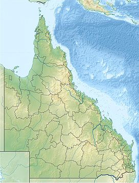
The Bunya Mountains are a distinctive set of peaks forming an isolated section of the Great Dividing Range in southern Queensland. The mountain range forms the northern edge of the Darling Downs near Bell and Dalby. The mountains are south of Kingaroy and just to the south west of Nanango. The range is the remains of a shield volcano which was built from numerous basalt lava flows about 23-24 million years ago.
The range rises to an average elevation of 975 m; however the two tallest mountains on the range, Mount Kiangarow and Mount Mowbullan, rise to over 1,100 m. Slopes facing the north east are part of the Burnett River catchment, those on the south east make up part of the Brisbane River catchment, while those facing the south west belong to the Condamine River catchment and ultimately the Murray-Darling River system.
The mountains are covered with ancient conifer rainforest that co-exists with a number of other unique natural features - 'balds' which are open grasslands including some that contain rare grass species, vine, and sclerophyll forests.
Parts of the forest were once logged for various timbers including red cedar, bunya pine and hoop pine. However, most of the peaks are completely uncleared and covered in forest as the range was too steep for early timber clearers. The mountains are home to the largest natural Bunya pine forest in the world.
...
Wikipedia

