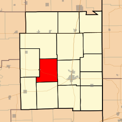
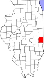
Buck Township, Edgar County, Illinois
| Buck Township | |
|---|---|
| Township | |
 Location in Edgar County |
|
 Edgar County's location in Illinois |
|
| Coordinates: 39°38′29″N 87°49′36″W / 39.64139°N 87.82667°WCoordinates: 39°38′29″N 87°49′36″W / 39.64139°N 87.82667°W | |
| Country | United States |
| State | Illinois |
| County | Edgar |
| Established | November 4, 1856 |
| Area | |
| • Total | 34.29 sq mi (88.8 km2) |
| • Land | 34.29 sq mi (88.8 km2) |
| • Water | 0 sq mi (0 km2) 0% |
| Elevation | 682 ft (208 m) |
| Population (2010) | |
| • Total | 307 |
| • Density | 9/sq mi (3/km2) |
| Time zone | CST (UTC-6) |
| • Summer (DST) | CDT (UTC-5) |
| ZIP codes | 61917, 61933, 61944, 61949 |
| GNIS feature ID | 0428726 |
Buck Township is one of fifteen townships in Edgar County, Illinois, USA. As of the 2010 census, its population was 307 and it contained 145 housing units. Buck Township was originally named Pilot Grove Township, but the name was changed on May 9, 1857.
According to the 2010 census, the township has a total area of 34.29 square miles (88.8 km2), all land.
...
Wikipedia
