Bowron Lakes Provincial Park
| Bowron Lake Provincial Park | |
|---|---|
|
IUCN category II (national park)
|
|
| Nearest city | Quesnel |
| Coordinates | 53°10′N 121°05′W / 53.167°N 121.083°WCoordinates: 53°10′N 121°05′W / 53.167°N 121.083°W |
| Area | 368,700 acres (1,492 km2) |
| Established | 1961 |
| Visitors | 5,000 (in 2006) |
| Governing body | BC Parks |
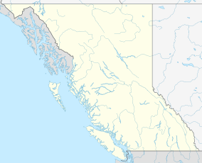
Bowron Lake Provincial Park is a provincial park located in northern British Columbia, Canada, about 117 kilometres east of the city of Quesnel. Other nearby towns include Wells and the historic destination of Barkerville. The park is known for its rugged glaciated mountains, cold deep lakes, waterfalls, and abundant wildlife. The main attraction is the 116 km (72 mi) canoe circuit through the Cariboo Mountains, which follows lakes, rivers, and short portages between waterways. This trip takes about a week to complete. An alternative to this trip is the shorter Westside route, which traverses Bowron, Swan, Spectacle, Skoi, Babcock, Unna and Rum lakes. This circuit takes two to four days.
The park is open to a limited number of canoes and kayaks from May 15 to the end of September.
Bowron Lakes was named after John Bowron, the Gold Commissioner in Barkerville.Frank Kibbee began to set up trap lines and built a home on the shores of Bowron Lake in 1907. In 1925, the Bowron Lakes area was classified as a game reserve by the Canadian Ministry of Environment. In 1961, the Ministry of Environment classified the area as a provincial park.
...
Wikipedia

