Bilzingsleben (Paleolithic site)
| Fundplatz Bilzingsleben | |

on-site exhibition
|
|
| Alternate name | Bilzingsleben Paleolithic Site |
|---|---|
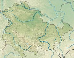
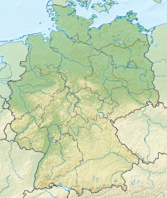
| Location | near Bilzingsleben, Sömmerda district |
| Region | state of Thuringia, Germany |
| Coordinates | 51°16′52″N 11°04′07″E / 51.28111°N 11.06861°ECoordinates: 51°16′52″N 11°04′07″E / 51.28111°N 11.06861°E |
| History | |
| Periods | Paleolithic |
| Associated with | Homo erectus |
| Site notes | |
| Archaeologists | 1922, 1971 to 1992 |
Bilzingsleben (German: Fundplatz Bilzingsleben, lit. discovery site Bilzingsleben) is a former stone quarry in Thuringia, Germany, notable for its wealth of palaeolithic human fossils and artifacts.
Bilzingsleben is located on the northern border of the Thuringian Basin, a depression made of triassic Keuper. To the North are the Kyffhäuser mountains, Hainleite and Schmücke that contain mainly Bunter sandstone and Muschelkalk deposits. The regions are separated by the local hercynian fault-line (Finne-Störung). The fault-line is the cause for numerous springs in this area. The emerging spring waters in turn have dissolved the local calcareous rocks and formed the interglacial travertine deposits that cover the Bilzingsleben site. The 400.000 year long conservation is attributed to the travertine's remarkable resilience to erosional processes.
The site itself was part of a fluvial terrace in Pleistocene, Central European river basin now situated 1.5 km (0.93 mi) south of the village of Bilzingsleben, Sömmerda district at 175 m (574.15 ft) above sea level in an old travertine quarry, called Steinrinne, where travertines have been quarried since early modern times and the material was used in the towns of the region, for example Kindelbrück's city wall.
...
Wikipedia


